Menu


Stage 3 is moderately challenging, with some steep, yet short descents. The terrain includes forested mountain paths, farm roads, and several stream crossings. Consider learning proper technique with hiking poles to support your walk. Consult the GPX map for water points, and grab snacks before leaving Consuma, as there’s no food or services until Stia.
Stage 3 Highlights
- Castel Castagnaio (Google Maps)
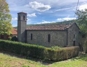
- San Jacopo Church in a town called Villa, with relics of St James
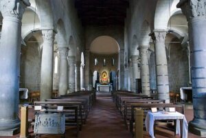
- Santa Maria Assunta Church, Stia (Google Maps)
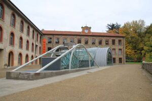
- Museum Of Art & Textiles, Stia (Google Maps)
- Palagio Fiorentino Castle, Stia Google Maps)
Difficulty
Moderate trail. The trickiest sections involve negotiating steep downhill slopes. Carry hiking poles to make this easier.
Microclimate
Hiking through the forest can be cool. Stia tends to be warmer than Consuma. Pilgrims should be aware of the weather conditions, as the downhill trail can be slippery and hazardous during or after rain.
Stamps
Pilgrims will spot a big map stand with a free stamp (also known as “timbro”) from the Friends of the Donkey Association (Gli Amici dell’Asino). This is also where pilgrims can find camping at La Terrazza in Foresta.
Navigation
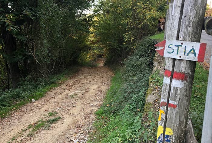
Pilgrims will spot sometimes confusing markers and signs as the trail splits near the town of Villa. Follow your GPX to stay on the path. Also note that the official GPX is slightly different from popular guidebooks, such as Sandy Brown’s Way of St Francis.
Food
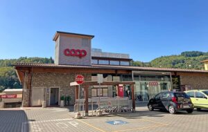
Grab your snacks at Ristorante Consumi before setting off. In Stia, Pilgrims can enjoy Handmade Pizza at Pizzeria Da Vincenzo and pastries at Pasticceria La Piazza di Claudia Balint & C. About 10 minutes walk from the village square, pilgrims can find a Coop market. Stock up on supplies, as this is the last market before La Verna.