Menu


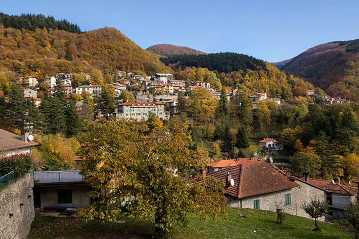
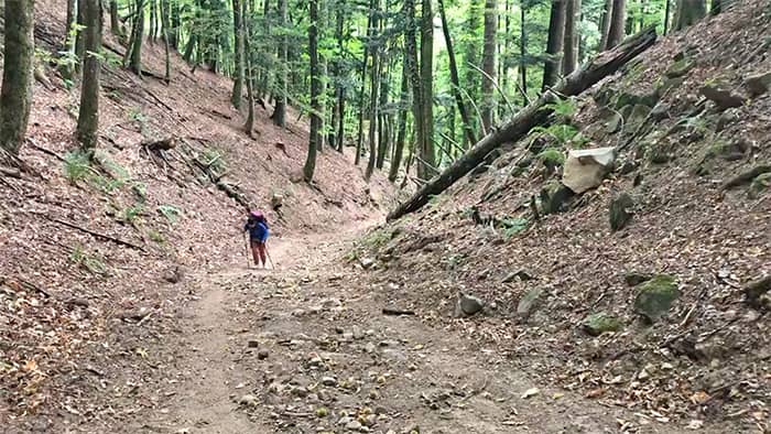
If there is an active rest day on the Via di Francesco, this is it. Start with a steep climb from Camaldoli. Then, walk easy on the flattened forest path into Badia Prataglia. Walk early and you’ll arrive before noon, just in time for lunch and nearly a half-day rest.
Stage 5 Highlights
Stamps
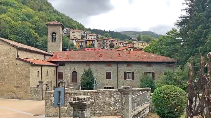
You can get a pilgrim stamp from Monastero di Camaldoli, and also places where you stay overnight.
Difficulty
The initial climb from Camaldoli is very sharp and tiresome. Recommend hiking pole for the initial stage. After that, the trail is relaxing and calm.
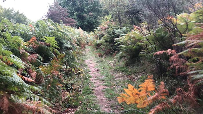
Microclimate
Same forest climate continues. Pilgrims will be on the top of mountain where fern forests grow.
Navigation
Trail markers are few and far between. Keep checking the GPX to stay on track.
Food
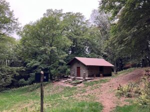
There are no eateries between Camaldoli and Badia Prataglia. But the walk is short. And there are several restaurants to visit in Badia Prataglia.