Menu


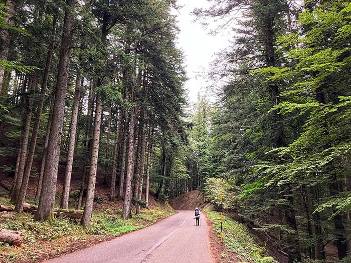
Today is an opportunity to experience the sacredness and purity of the Foreste Casentinesi national park. The first third of the trail (6km) follows sleepy mountain roads and trail shortcuts before entering the Foreste Casentinesi national park.
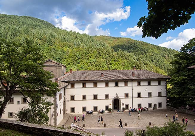
Book accommodations before leaving Stia. Lodging at the Monastery often fills up. Nearby Camping Camaldoli provides tents to pilgrims outside village limits. Know that if you opt for the alternative route that visits the mountain hermitage (Eremo di Camaldoli), you’ll be walking a couple more hours before arriving at lodging in or near the village.
Stage 4 Highlights
- Foreste Casentinesi National Park
- Rifugio Asqua, Asqua
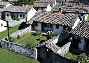
- Eremo di Camaldoli, Camaldoli
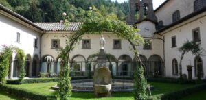
- Monastery of Camaldoli (Monastero di Camaldoli), Camaldoli
Difficulty
Today’s walk is the most challenging so far, as you’ll be climbing most of the day. The official route is less strenuous than the alternative route to the mountain hermitage.
Microclimate
Temps cool off once you leave the valley and climb into the forest. Expect the climbing to push up your body temperature.
Navigation
The opportunity to choose the alternate route to visit the mountain hermitage (Eremo di Camaldoli) comes before Valagnesi. Pay attention to your GPX.
Food
Water is available, but there is no food between Stia and Camaldoli. Make sure to get snacks at the Coop market in Stia. Camaldoli features some roadside restaurants.